ILRS Logo, International Laser Ranging Service

International Laser Ranging Service

A service of the International Association of Geodesy

Search:

IAG | GGOS

Skip Navigation (press 2)
  • About ILRS
    • Recent News
    • Meetings
    • Organization
    • Terms of Reference
    • Membership
    • ILRS Workshops
    • Publications & Reports
    • Links
    • Early History of ILRS
  • Network
    • List of Stations
    • Site Information
    • Site Procedures
    • System Performance
    • Networks and Engineering Standing Committee
    • Space Debris Study Group
    • Quality Control Board
  • Missions
    • List of Missions
    • Spacecraft Parameters
    • Mission Support
    • Mission Operations
    • Missions Standing Committee
  • Science
    • Analysis Centers
    • Analysis Products
    • Analysis Standing Committee
    • Bibliography
    • Data Analysis Resources
    • LARGE Study Group
    • Quality Control Board
    • Science Contributions
    • Scientific Meetings
    • SLR Science Campaigns
      • Galileo for Science
  • Data & Products
    • Data Centers
    • Data
    • Products
    • Predictions
    • Formats
    • Data Center Operations
    • Data Formats and Procedures Standing Committee
  • Technology
    • Laser Ranging
    • Ground Segment
    • Space Segment
    • Modeling
    • Software
    • Network and Engineering Standing Committee
    • Transponder Standing Committee
  • List of Stations
  • Site Information
  • Site Procedures
  • System Performance
    • Monthly/Quarterly Global Report Cards
    • Monthly Station Performance Maps
    • Station Info Plots
    • Daily Status Charts
    • Potsdam CPF time bias service
    • Real-Time Status Exchange (EUROStat)
    • 7-Day Groundtrack of Geodetic Sat Data
    • 7-Day GNSS Ground Track
    • Current Network Status
    • Tracking Reports
    • Co-location Results
  • Networks and Engineering Standing Committee
  • Space Debris Study Group
  • Quality Control Board

Quick Links

  • Network Map
  • List of Stations
  • Monthly Report Card
  • Quarterly Report Card
  • Network Status Page
  • Potsdam CPF time bias service
  • Procedure for estimating laser beam divergence
  • Recent Station Upgrades
  • Network station application form
  • Revised ILRS station screening process at ILRS Operations Centers (NASA and EDC)

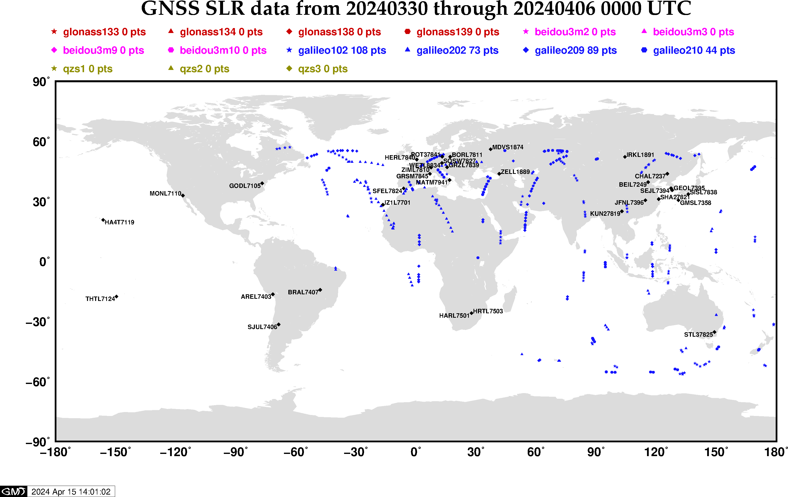
Groundtrack of Last Seven Days of GNSS Satellite Data

Plot of the groundtrack of thirty days of GNSS satellite data made Friday

NASA Logo, National Aeronautics and Space Administration
  • NASA Official: Frank Lemoine
  • Web Developers: 610 Web Dev
  • Contact Us
  • Last modified date: Jun 17, 2020
  • Privacy Policy & Important Notices
WDS logo IAG-GGOS logo