
GPS-35, -36
Jump to: Mission Objectives, Mission Instrumentation, Mission Parameters, Additional Information
Mission Photos:
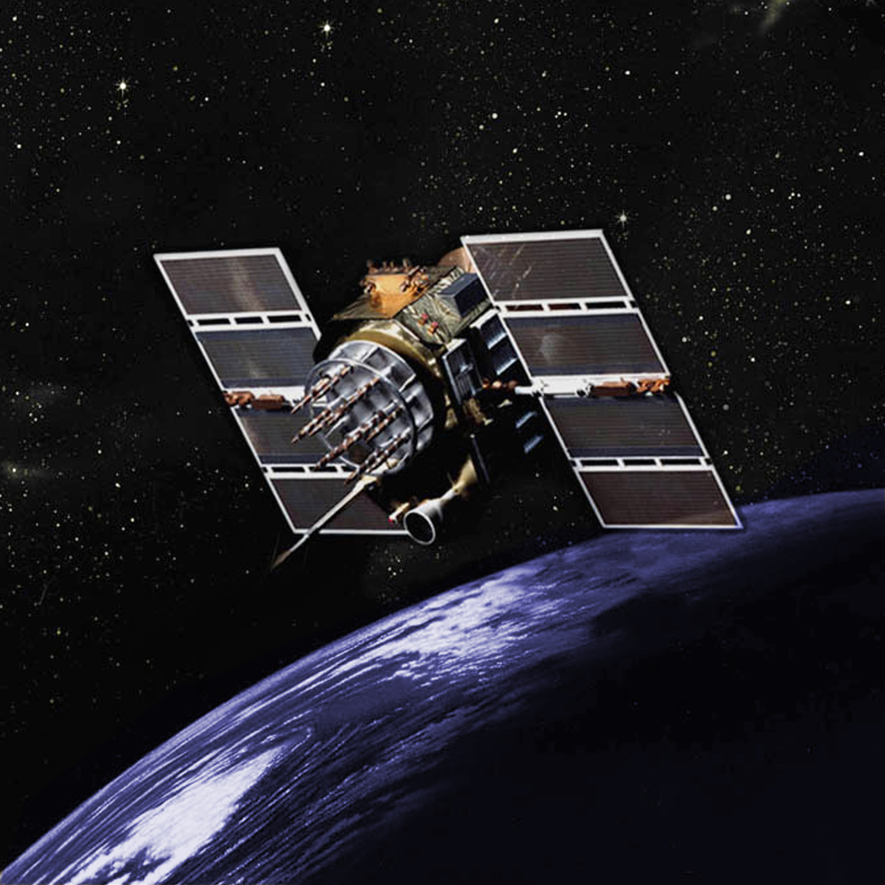
Courtesy of GPS.gov
Mission Objectives:
The Global Position System (GPS), counterpart to the Russian Global Navigation System (GLONASS), is a United States Department of Defense (DoD) developed, worldwide, satellite-based radionavigation system that will be the DoD's primary radionavigation system well into the next century. The constellation consists of 24 operational satellites. The U.S. Air Force Space Command (AFSC) formally declared the GPS satellite constellation as having met the requirement for Full Operational Capability (FOC) as of April 27, 1995. Requirements include 24 operational satellites functioning in their assigned orbits and successful testing completed for operational military functionality.
GPS consists of three segments, the SPACE, CONTROL and USER Segment:
- The SPACE segment consists of 24 operational satellites in six orbital planes, (four satellites in each plane). The satellites operate in circular 20,200 km orbits at an inclination angle of 55 degrees and with a 12-hour period. The position is therefore the same at the same sidereal time each day, i.e. the satellites appear four minutes earlier each day.
- The CONTROL segment consists of five Monitor Stations, three Ground Antennas, and a Master Control Station (MCS) located at Falcon AFB in Colorado. The monitor stations passively track all satellites in view, accumulating ranging data. This information is processed at the MCS to determine satellite orbits and to update each satellite's navigation message. Updated information is transmitted to each satellite via the Ground Antennas.
- The USER segment consists of antennas and receiver-processors that provide positioning, velocity and precise timing to the user.
GPS provides two levels of service, Standard Positioning Service and the Precise Positioning Service. The Standard Positioning Service (SPS) is a positioning and timing service which will be available to all GPS users on a continuous, worldwide basis with no direct charge. The Precise Positioning Service (PPS) is a highly accurate military positioning, velocity and timing service which will be available on a continuous, worldwide basis to users authorized by the U.S.
Mission Instrumentation:
GPS-35 and -36 have the following instrumentation onboard:
- Solar array
- 12 primary antennas for L-band transmissions
- Atomic clock
- Retroreflector array
Mission Parameters:
| GPS-35 | GPS-36 | |
| Sponsor: | United States DOD | United States DOD |
| Expected Life: | 7 years | 7 years |
| Primary Applications: | positioning and time transfer | positioning and time transfer |
| Primary SLR Applications: | precision orbit determination | precision orbit determination |
| COSPAR ID: | 9305401 | 9401601 |
| SIC Code: | 3535 | 3636 |
| Satellite Catalog (NORAD) Number: | 22779 | 23027 |
| Launch Date: | 30 August 1993 | 10 March 1994 |
| RRA Diameter: | 239 x 194 x 37 mm array | 239 x 194 x 37 mm array |
| RRA Shape: | planar square | planar square |
| Reflectors: | 32 corner cubes | 32 corner cubes |
| Orbit: | circular | circular |
| Inclination: | 64.8 degrees | 64.8 degrees |
| Eccentricity: | 0.000 | 0.006 |
| Perigee: | 20,195 km | 20,030 km |
| Period: | 718 minutes | 718 minutes |
| Weight: | 930 kg | 930 kg |
| Blk II Seq: | II-22 | II-24 |
| SVN: | 35 | 36 |
| PRN Code: | 05 | 06 |
| International ID: | 1993-054A | 1994-016A |
| Orbit Plane Pos'n: | B-4 | C-1 |
Additional information:
Web sites:
- NAVSTAR GPS Joint Program Office
- U.S. Coast Guard Navigation Information Center
- International GNSS Service (IGS)
- Inside GNSS GPS section
- U.S. Naval Observatory GPS Home Page
- UNB GPS Constellation Status (text | plot PDF)
Publications:
- Appleby, G. and Otsubo, T., "Comparisons of SLR Observations and Orbits with GLONASS and GPS Microwave Orbits", Presentation to 12th International Workshop on Laser Ranging, Matera, Italy, November 13-17, 2000.
- Colombo, O.L., "Ephemeris Errors of GPS Satellites", c.1 preprint submitted to Bull. Geod., c.2 reprint from Bull. Geod., Vol. 60, pp. 64-84, 1985.
- Davis, M.A., Trask, A.J., "Insight into the GPS Navigation Product Accuracy using the SLR measurements", August, 2007.
- Degnan, J.J. and Pavlis, E.C., "Laser Ranging to GPS with Centimeter Accuracy", GPS World, pp. 62-70, September 1994.
- Eanes, R.J., Nerem, R.S., Abusali, P.A.M., Bamford, W., Key, K., Ries, J.C., and Schutz, B.E., "GLONASS Orbit Determination at the Center for Space Research", presented at International GLONASS Experiment (IGEX-98) Workshop, Nashville, Tennessee, September 13-14, 1999.
- Hujsak, R.S., Gilbreath, G.C., and Truong, S., "GPS Sequential Orbit Determination Using Spare SLR Data", Proc. of the 11th International Workshop on Laser Ranging, Deggendorf, Germany, September 21-25, p. 56, 1998.
- Qu, F., Wang, T., and Liu, N., "Precise determination of GPS35 satellite with SLR observations (POSTER)", Presentation to 12th International Workshop on Laser Ranging, Matera, Italy, November 13-17, 2000.
- Sinclair, A.T., "An Assessment of the IRV model for the GPS satellites", Proc. of the 10th International Workshop on Laser Ranging Instrumentation, Shanghai Observatory, Chinese Academy of Sciences, Shanghai, China, November 11-15, p. 482, 1996.
- Zhu, S., Reigber, C., and Kang, Z., "Apropos laser tracking to GPS satellites", 71, 7, pp 423-431, Journal of Geodesy, 1997.
