
GOCE
Jump to: Mission Objectives, Mission Instrumentation, Mission Parameters, Additional Information
Mission Photos:
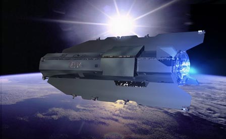
GOCE (Courtesy of ESA)
Mission Objectives:
The GOCE (Gravity field and steady-state Ocean Circulation Explorer) is an ESA mission dedicated to measuring the Earth's gravity field and modelling the geoid with extremely high accuracy and spatial resolution. It is the first Earth Explorer Core mission to be developed as part of ESA's Living Planet Programme and is scheduled for launch in May 2008. The satellite consists of a single rigid octagonal spacecraft, approximately 5 m long and 1 m in diameter with fixed solar wings and no moving parts.
On November 11, 2013 ESA's GOCE satellite reentered Earth's atmosphere, disintegrating in the upper atmosphere.
The main objectives of the mission are:
- To determine the gravity-field anomalies with an accuracy of 1 mGal (where 1 mGal = 10-5 m/s2)
- To determine the geoid with an accuracy of 1-2 cm
- To achieve the above at a spatial resolution better than 100 km
Mission Instrumentation:
GOCE has the following scientific instruments:
- Gradiometer: 3 pairs of 3-axis, servo-controlled, capacitive accelerometers (each pair separated by a distance of 0.5 m)
- 12-channel GPS receiver with geodetic quality
- Laser retroreflector enabling tracking by ground-based lasers
GOCE Mission Parameters:
| Sponsor: | ESA |
| Expected Life: | 2 years |
| Primary Applications: | Gravity field determination |
| Primary SLR Applications: | Calibration of GPS orbits |
| COSPAR ID: | 0901301 |
| SIC Code: | 0499 |
| Satellite Catalog (NORAD) Number: | 34602 |
| Launch Date: | March 17, 2009 |
| NP Bin Size: | 5 seconds |
| Satellite file name code: | goce |
| RRA Dimensions: | 125 mm x 57 mm |
| RRA Shape: | Hemisphere |
| Reflectors: | 7 corner cubes |
| Altitude: | 295 km |
| Inclination: | 96.7 degrees |
| Eccentricity: | 0.0 |
Additional Information:
Web sites:
- GOCE Home Page (ESA)
- EuroNews video on GOCE (including video of Herstmonceux)
Publications:
- GOCE-LRR Laser Retro Reflector Technical Description (courtesy of ESA)
- GOCE Configuration Diagrams (courtesy of ESA)
- GOCE LLR Procurement Specification (courtesy of ESA)
- Range Correction for the CryoSat and GOCE Laser Retroreflector Arrays, O. Montenbruck (DLR/GSOC) and R. Neubert (GFZ)
