
Sentinel-3
Jump to: Mission Objectives, Mission Instrumentation, Mission Parameters, Additional Information
Mission Photos:
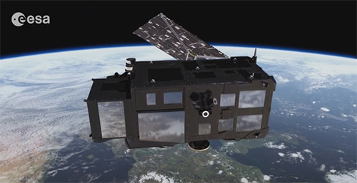
Courtesy of ESA
Mission Objectives:
The main objective of the Sentinel-3 mission is to measure sea surface topography; sea and land surface temperatures; and ocean and land surface color with high accuracy and reliability to support ocean forecasting systems, environmental, and climate monitoring.
The objective of the Laser Retro-Reflector (LRR) is to permit ground-based laser ranging of the Sentinel-3 satellites. These measurements will be used for calibration of the on-board navigation system and of the Radar Altimeter measurements as well as for the S-3 POD processing. SLR tracking of Sentinel-3A is restricted to a subset of the ILRS network.
Mission Instrumentation:
The mission's primary instruments are optical instruments (OLCI, SLSTR); and the Altimeter system composed of a SAR radar altimeter, a microwave radiometer, and a Precise Orbit Determination (POD) package composed of a GNSS, a DORIS and LRR.
Mission Parameters:
| Satellite: | Sentinel-3A | Sentinel-3B |
| Sponsor: | ESA/EUMETSAT | ESA/EUMETSAT |
| Expected Life: | 7.25 years | 7.25 years |
| Primary Applications: | Marine Observation | Marine Observation |
| Primary SLR Applications: | Calibration of instruments, orbit determination | Calibration of instruments, orbit determination |
| COSPAR ID: | 1601101 | 1803901 |
| SIC Code: | 8010 | 8011 |
| Satellite Catalog (NORAD) Number: | 41335 | 43437 |
| Launch Date: | February 16, 2016 | April 25, 2018 |
| NP Bin Size: | 15 seconds | 15 seconds |
| RRA Shape: | spherical | spherical |
| Cube Diameter: | ||
| Reflectors: | 7 corner cubes | 7 corner cubes |
| Inclination: | 98.65 degrees | 98.65 degrees |
| Eccentricity: | approximately 0 | approximately 0 |
| Altitude: | 814.5 km | 814.5 km |
| Weight: | 1150 kg (+100kg fuel at launch) | 1150 kg (+100kg fuel at launch) |
Additional Information:
Websites:
Other:
- ESA yearly reports on Sentinel-3 mission support:
- Sentinel-3A macromodels
- Mass & center of mass history
- Manoeuver history
- Attitude history
Publications:
- Arnold, D., Montenbruck, O.., Hackel, S., and K. Sosnica (2019), "Satellite laser ranging to low Earth orbiters: orbit and network validation", J. Geodesy, 93(11), 2315-2334, DOI: 10.1007/s00190-018-1140-4
- Fernández J., Peter H., Calero E.J., Berzosa J., Gallardo L.J., and P. Féménias (2019), "Sentinel-3A: Validation of Orbit Products at the Copernicus POD Service", In: Mertikas S., Pail R. (eds) Fiducial Reference Measurements for Altimetry, International Association of Geodesy Symposia, vol 150. Springer, Cham, Switzerland, pp.75-82, DOI: 10.1007/1345_2019_64
- Montenbruck, O., Hackel, S., and A. Jäggi (2018), "Precise orbit determination of the Sentinel-3A altimetry satellite using ambiguity-fixed GPS carrier phase observations", J. Geodesy, 92, 711–726, DOI: 10.1007/s00190-017-1090-2
- Fernández, J., Fernández, C., Féménias, P, and H. Peter (2016), "The Copernicus Sentinel-3 Mission", 20th International Workshop on Laser Ranging, Potsdam, Germany, Oct. 9-14, 2016, (https://cddis.nasa.gov/lw20/docs/2016/papers/P32-Fernandez_paper.pdf)
- European Space Agency (ESA), Sentinel-3, ESA's Global land and Ocean Mission for GMeS Operational Services, ESA SP 1322/3, ESTEC, Noordwijk, The Netherlands, October 2012, (https://sentinel.esa.int/documents/247904/351187/S3_SP-1322_3.pdf)
- Donlon, C., Berruti, B., Buongiorno, A. et al. (2012), "The Global Monitoring for Environment and Security (GMES) Sentinel-3 mission", Remote Sensing of Environoment, 120, 37-57, DOI: 10.1016/j.rse.2011.07.024
