
Beacon-C
Jump to: Mission Objectives, Mission Instrumentation, Mission Parameters, Additional Information
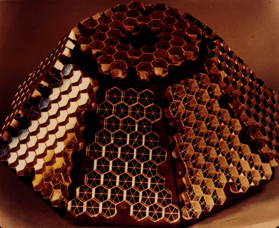
Mission Photos:
Mission Objectives:
Beacon-C is also called Beacon Explorer C or BE-C. The main purpose of this satellite is to record observations of electron content between the earth and the satellite worldwide. Other activities include using a three-axis magnetometer and sun sensors to determine satellite spin rate and attitude data. Information could only be downloaded when the satellite was in range of a ground telemetry station, because the satellite was not equipped with a tape recorder. Initially, the Beacon-C was spin stabilized; however, after the solar paddles were erected, the satellite was despun. A strong bar magnet and damping rods were used to align the satellite axis of symmetry with the local magnetic field. Transmitters operated at 162 and 324 MHz but were turned off on July 20, 1973 because these frequencies interfered with more important spacecraft.
SLR data from Beacon-C is used to monitor the secular and long period tidal variations in the Earth's gravity field. SLR provides a critical global constraint on the geophysical modeling to improve our understanding of the rheology of Earth, such as the mantle viscosity and anelasticity, and the postglacial rebound since the last ice age. The ability to measure the long-term changes in the Earth's gravity field from analysis of SLR data is based on the fact that mass variations within the Earth system produce detectable orbital perturbations, which depend on the orbital inclination and altitude of satellites. As a consequence, the requirement for both the long-term temporal and spatial distribution of the SLR tracking data (i.e., from the satellites at various inclinations and altitudes) is critical for separating the variation at different degrees and orders. Most of the current geodetic satellites are orbiting at inclinations ranging from 50 to 110 degrees. BE-C is the only useful target in a low inclination (41 degrees) with SLR tracking capability, and it can be used to extend the inclination coverage to improve the separation of the secular variations in the zonal harmonics. Use of the SLR data sets from eight geodetic satellites, including Starlette, Stella, Ajisai, LAGEOS-1 and -2, Etalon-1 and -2, and BE-C covering the period over 20 years through the end of 1995 has yielded the most accurate zonal rates with the highest degree (< 7) [Cheng, Shum and Tapley, 1997]. Except for BE-C, extension of the 3-years SLR data by the end of 1998 from those satellites enables separation of the secular zonal variations up to degree 10. However, the solutions for the higher degrees of the zonal rates are limited by the limited time span of the BE-C data [Cheng and Tapley, 1999]. All of these satellites are currently tracked by the SLR network. The long-term SLR data sets from multiple satellites will be an invaluable geophysical time series and will play an important role for geodynamics study in conjunction with the GRACE mission.
Mission Instrumentation:
Beacon-C has the following instrumentation onboard:
- Radio beacons
- Doppler navigation system
- Electrostatic probe
- Passive laser tracking reflectors
Mission Parameters:
| Sponsor: | NASA |
| Expected Life: | Active portion turned off July 20,1973 |
| Primary Application: | Ionospheric research and geodesy |
| COSPAR ID: | 6503201 |
| SIC Code: | 0317 |
| Satellite Catalog (NORAD) Number: | 1328 |
| Launch Date: | April 29, 1965 |
| RRA Diameter: | |
| RRA Shape: | |
| Reflectors: | 160 corner cubes |
| Orbit: | Geocentric |
| Inclination: | 41.2 degrees |
| Eccentricity: | |
| Perigee: | 927 km |
| Period: | |
| Weight: | 32 kg |
Additional Information:
Publications:
- Kolenkiewicz, R., Smith, D.E., and Dunn, P.J., "Polar Motion and Earth Tides from Beacon Explorer-C", The Use of Artificial Satellites for Geodesy and Geodynamics, pp. 813-824, 1974.
